Geocoding | Home
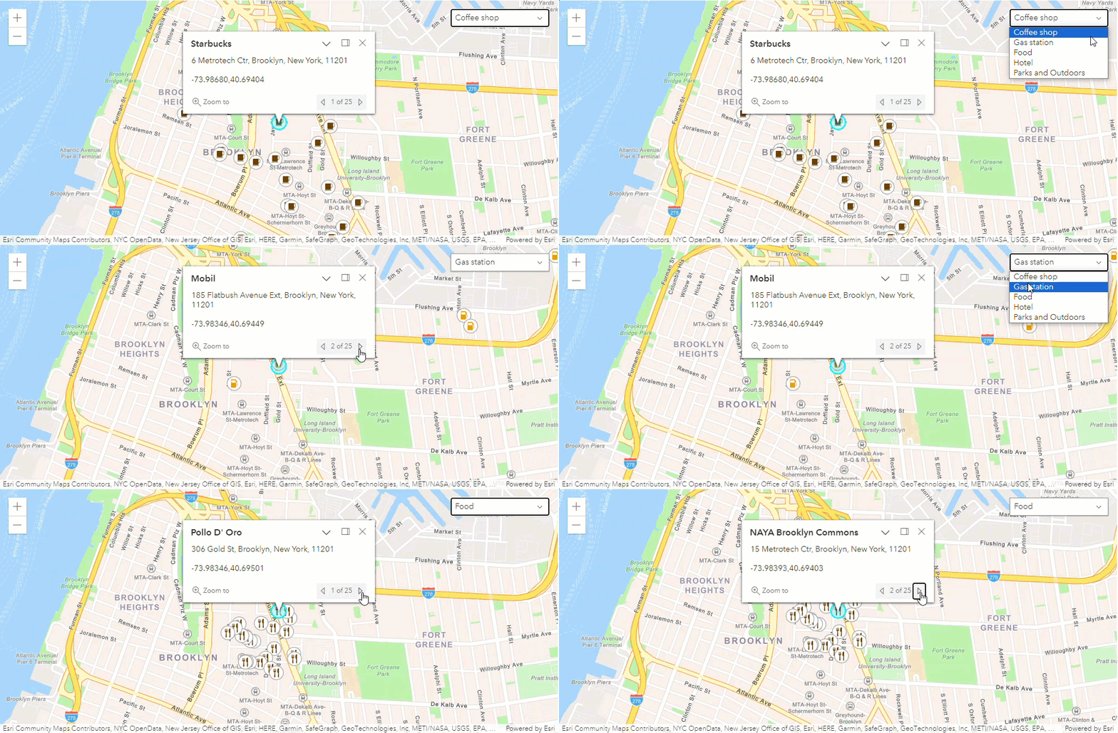
 Source: ArcGIS Developers
Single Address
Single Address geocoding is the process of obtaining coordinates (Lat/Lon) of place given its name.
User-Input:
Generated-Output:
Midlands State University
Generated-Output:
{'place_id': 194690377, 'licence': 'Data © OpenStreetMap contributors,
                                                ODbL 1.0. https://osm.org/copyright', 'osm_type': 'way', 'osm_id':
                                                402445199, 'boundingbox': ['-19.5227465', '-19.5092451', '29.8316695',
                                                '29.8442397'], 'lat': '-19.5160493', 'lon': '29.837607657460804',
                                                'display_name': 'Midlands State University, Senga Road, Senga, Gweru,
                                                Midlands, 9054, Zimbabwe', 'class': 'amenity', 'type': 'university',
                                                'importance': 0.31100000000000005, 'icon':
                                                'https://nominatim.openstreetmap.org/ui/mapicons//education_university.p.20.png'}
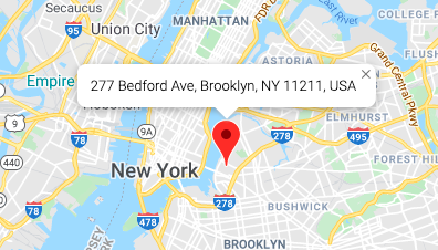
 Source: Google Developers
Reverse
Reverse geocoding is the process of acquiring a place name given its coordinates in this instance in Lat/Lon format.
User-Input:
Generated-Output:
Lat: 52.5098014
 Lon: 13.375589791291057
Generated-Output:
{'place_id': 284012255, 'licence': 'Data © OpenStreetMap contributors,
                                                ODbL 1.0. https://osm.org/copyright', 'osm_type': 'relation', 'osm_id':
                                                3200536, 'lat': '52.5098014', 'lon': '13.375589791291057',
                                                'display_name': 'Potsdamer Platz, Mitte, Berlin, Deutschland',
                                                'address': {'tourism': 'Potsdamer Platz', 'road': 'Potsdamer Platz',
                                                'suburb': 'Mitte', 'borough': 'Mitte', 'city': 'Berlin', 'state':
                                                'Berlin', 'country': 'Deutschland', 'country_code': 'de'},
                                                'boundingbox': ['52.5082999', '52.5100374', '13.3750548',
                                                '13.3769528']}
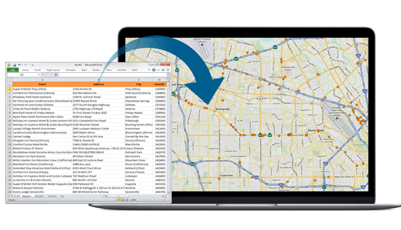
 Source: MapLarge